Description
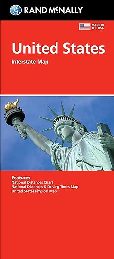
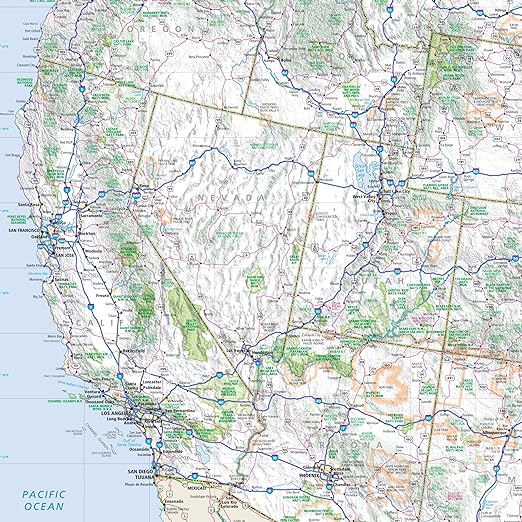
Rand McNally Folded Map: United States

Rand McNally folded maps have been the trusted standard for years, offering unbeatable accuracy and reliability at a great price.
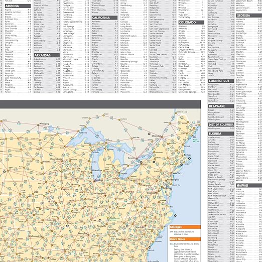
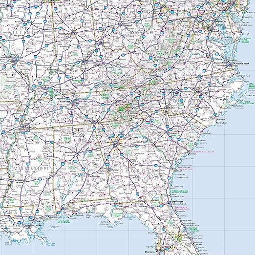
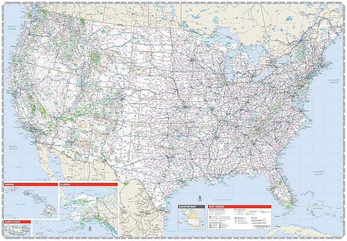
- Interstate and U.S. highways
- Indications of cities, points of interest, airports, boundaries, and more
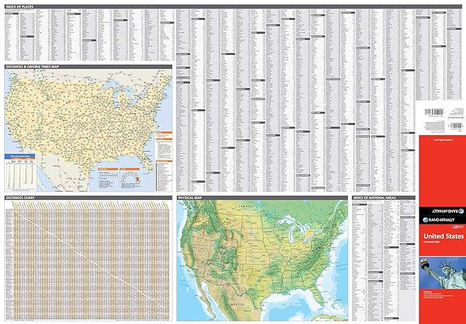
- Mileage chart
- Mileage & driving times map
- National facts and symbols
- Toll roads chart
- United States physical map
- Visitor information
Measures 4.125″ x 9″ and folds out to 25.5″ x 36.75″.



Reviews
There are no reviews yet.